
A sunny November afternoon can make a kayak seem like the obvious way to extend a beach visit. Before loading it, decide whether your equipment, experience and route fit the water you could end up in. The air forecast is only one part of that decision.
Start with the water, then your equipment
The National Weather Service warns that warm air can hide cold-water risk. Sudden immersion can disrupt breathing and movement even for confident swimmers. Check water temperature as well as the forecast; wear a life jacket and dress for immersion. A wetsuit or drysuit is protection to evaluate for the conditions, not something this article can size or select for you.
NWS also recommends a float plan and emergency communication equipment. Leave your route and expected return with someone who can act if you do not return. If you cannot prepare for immersion, choose a shore visit. A short route does not remove that preparation.
Name the launch, not just the beach
On the Outer Banks, the National Park Service kayaking page lists Salvo Sound Access just south of Salvo. Our Salvo Soundside guide is a starting point for researching that soundside outing. It is not an ocean launch recommendation.
NPS separately identifies the Oregon Inlet Kayak Launch at the Oregon Inlet Fishing Center on Bodie Island, with a path to Pamlico Sound. Do not use the oceanfront Oregon Inlet beach guide as a substitute for locating that launch. NPS warns about currents, waves, fishing-boat traffic and wakes in the sound and inlet. A named launch is not a promise of suitable conditions.
Make the return part of the decision
NPS advises researching local hazards and weather, avoiding thunderstorms and planning within your capabilities. Before leaving home, write down the exact launch, the intended route and the return time. Check the forecast for the whole outing, including wind changes, and identify how you would get back if the outward leg proved easier than the return.
Our editorial recommendation is to resolve those questions before arriving with a loaded boat. If the route, conditions or equipment remain uncertain, postpone the paddle or get qualified local instruction. This is a planning framework, not a route assessment or paddling lesson.
Keep a shore plan worth taking
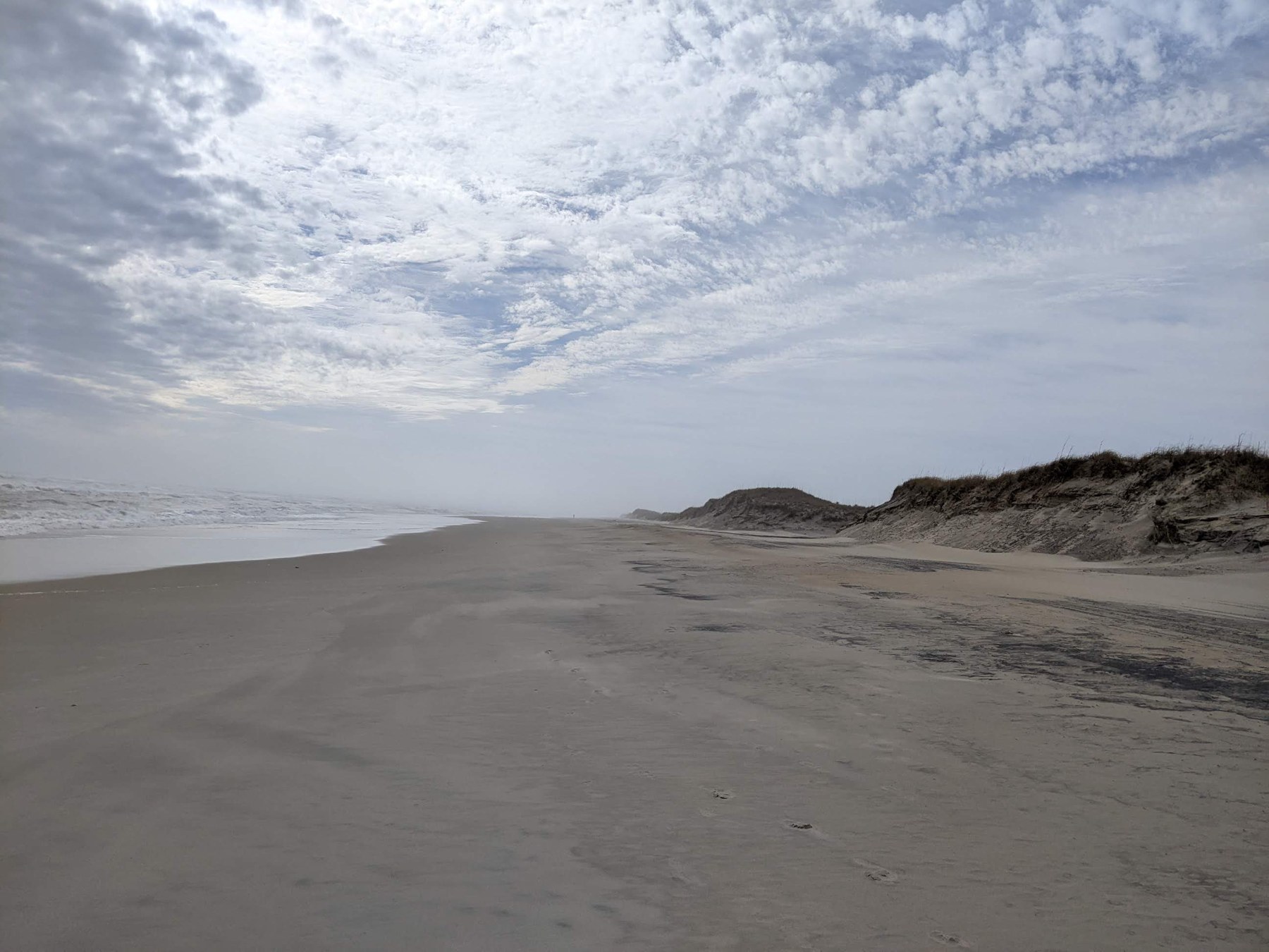
A beach visit can still be worthwhile without launching. Choose a legal shore access, check its facilities and opening information, and plan time to look at the water without entering it. The photograph above shows the Atlantic beach at Hatteras village, a separate location from the soundside launches discussed here. It illustrates a shore visit, not a kayak route.
Use our seasonal facilities checklist to plan that alternative. Check Cape Hatteras alerts and access information again before departure. Access notices and a marine forecast answer different questions; neither should be treated as blanket permission or a safety guarantee.
Sources and scope
Reviewed November 19, 2026: National Weather Service cold-water guidance; National Park Service Cape Hatteras kayaking guidance (page updated August 8, 2023) and alerts and conditions. These support general preparation and named launch geography. This article reports no measured water temperature, present launch opening, rental availability or safe route. The checklist and shore alternative are editorial interpretation.
Published and source-checked November 19, 2026. We favor original reporting, authoritative sources and clear limits over search-driven filler. Read our corrections policy or report an issue.