
Before choosing an accessible beach, choose the route you will actually use: the parking space, the entrance, the surface across the dunes, and the place you want to spend the day. A boardwalk or a beach wheelchair can be useful, but neither answers every question about that journey.
Our recommendation is to plan backward from your preferred beach day. Is the goal a sea view from a firm surface, time on the sand, or getting close to the water? Then check each part of the route against your own mobility needs. The best choice is the one whose details fit you and your companions.
Start with the route, not the label
The National Park Service’s mobility-planning guidance identifies details such as surface, width, slope and distance, along with parking, routes and restrooms. It also advises checking alerts when weather or construction changes accessibility. That is a useful way to read any beach guide: look for specific features and any remaining gaps.
Save the name or address of the entrance you intend to use. A general beach name is not a complete arrival plan. If you need a van space, room to unload a mobility device, a restroom or somewhere to rest, check that those features belong to the same entrance and route.
For a shared outing, ask the person using the route what matters most. Being able to remain in their own chair, avoiding a transfer, limiting walking distance or having an easy return may matter more than how far onto the sand the group can go. These are planning choices, not assumptions to make for someone else.
Three beaches, three useful questions
Fort Clinch: how do you arrange the equipment?
Florida State Parks lists accessible beach boardwalks and viewing platforms at Fort Clinch, plus standard and all-terrain wheelchairs. It asks visitors to contact the park in advance at 904-277-7274 to reserve and use the equipment. That makes the next step clear: ask where to collect the chair, which beach entrance to use and what assistance or transfer arrangements your visit would require.
Start with our Fort Clinch Atlantic Beach guide, then confirm those details with the park. The listed amenities do not establish an uninterrupted firm route into the water or guarantee a chair on arrival.
Gulf Shores: where does the mat end?
The City of Gulf Shores accessibility page describes beach mats at Gulf Place and East Gulf Place. It explicitly says they stop short of the water because the slope below them makes returning to the boardwalk difficult for wheelchair users. The mat is a way onto the beach; its endpoint matters to your plan.
Use our Gulf Shores Public Beach guide to begin planning, then identify the exact mat and appropriate parking with the city. Ask whether the area at its end suits your intended outing and whether assistance is available during your visit. Do not assume every nearby parking area has the same eligibility or route.
Coligny Beach: is the wheelchair reservation settled?
The Town of Hilton Head Island says its beach matting extends to hard sand at the high-tide line. It separately lists beach wheelchairs at Coligny Beach Park and offers online reservations. The service is described as free, with a $25 refundable credit-card deposit required for a reservation. Follow the town’s current instructions for the access code and return process, and check availability for your dates.
Our Coligny Beach guide provides the destination context. A mat reaching hard sand and a reserved chair answer different questions: one describes a surface, the other an equipment arrangement. Neither is a promise that the route or device will meet every visitor’s needs or that ocean entry is suitable.
A short conversation before you go
When the published information leaves an important gap, try this: “We plan to visit on this date, using this mobility device. We want to reach this part of the beach. Can you describe the route from the parking or drop-off area, including where the firm surface ends?” Then work through the details that matter to you:
- Arrival: Which entrance and parking area should we use? Are there any eligibility, payment or unloading restrictions?
- The route: What are the surface, distance and slopes? Are there steps, a sand gap or a temporary detour?
- Facilities: Where is the suitable restroom, and does the same route reach it?
- Equipment: Is a reservation needed? What are the pickup and return times, device limits and assistance arrangements? Would a transfer be necessary?
- The return: Will our return route and any required assistance still be available when we leave?
This is our editorial checklist, adapted from the route-specific approach above. It is not a certification checklist. If a necessary part remains unknown, keep it marked unknown and choose a plan that does not depend on it.
Recheck the season and the day
A summer photograph is not an October equipment schedule. As a clearly separate example, Golden Gate National Recreation Area lists seasonal mats at Rodeo Beach and Crissy Field East Beach from Memorial Day through Labor Day and notes that erosion can prompt removal. That is a California policy, not a schedule to apply to Florida, Alabama or South Carolina. It illustrates why the local manager’s dates matter.
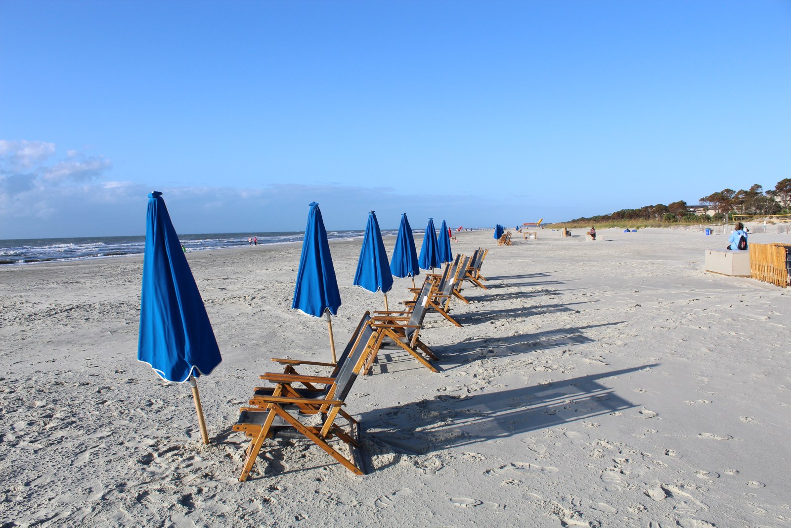
For your selected entrance, check the official alerts and ask about mat placement, equipment availability and any works before leaving. Treat an older photograph as a view of a place at a particular time. Our hero shows Coligny Beach in 2017; it does not document today’s access route, rentals or conditions.
If entering the ocean is part of the plan, assess that separately from reaching the sand. Follow current local warnings and closures, and get the provider’s instructions for any borrowed equipment rather than assuming it can enter the water. A reachable beach is not a swimming-safety assessment.
Leave with a plan everyone can use
Save the entrance, the official contact, any reservation confirmation and an alternative outing the group would enjoy if the route or equipment is unavailable. That alternative can be a view from a suitable firm surface rather than an improvised attempt to cross a barrier.
Use Explore beaches to open individual guides and compare the actual entrance details. For the broader seasonal plan, read Fall at the Beach. The useful decision is not which beach earns the broadest label. It is which documented route supports the day you want.
Sources and scope
Official sources linked above were checked October 8, 2026. The three local examples describe published facility and equipment information, not an on-site access audit or a guarantee of same-day availability. The NPS sources support the planning approach and the separately identified California example. Questions, preferences and fallback plans are editorial suggestions. Confirm changing arrangements with the responsible manager before travel.
Published and source-checked October 8, 2026. We favor original reporting, authoritative sources and clear limits over search-driven filler. Read our corrections policy or report an issue.